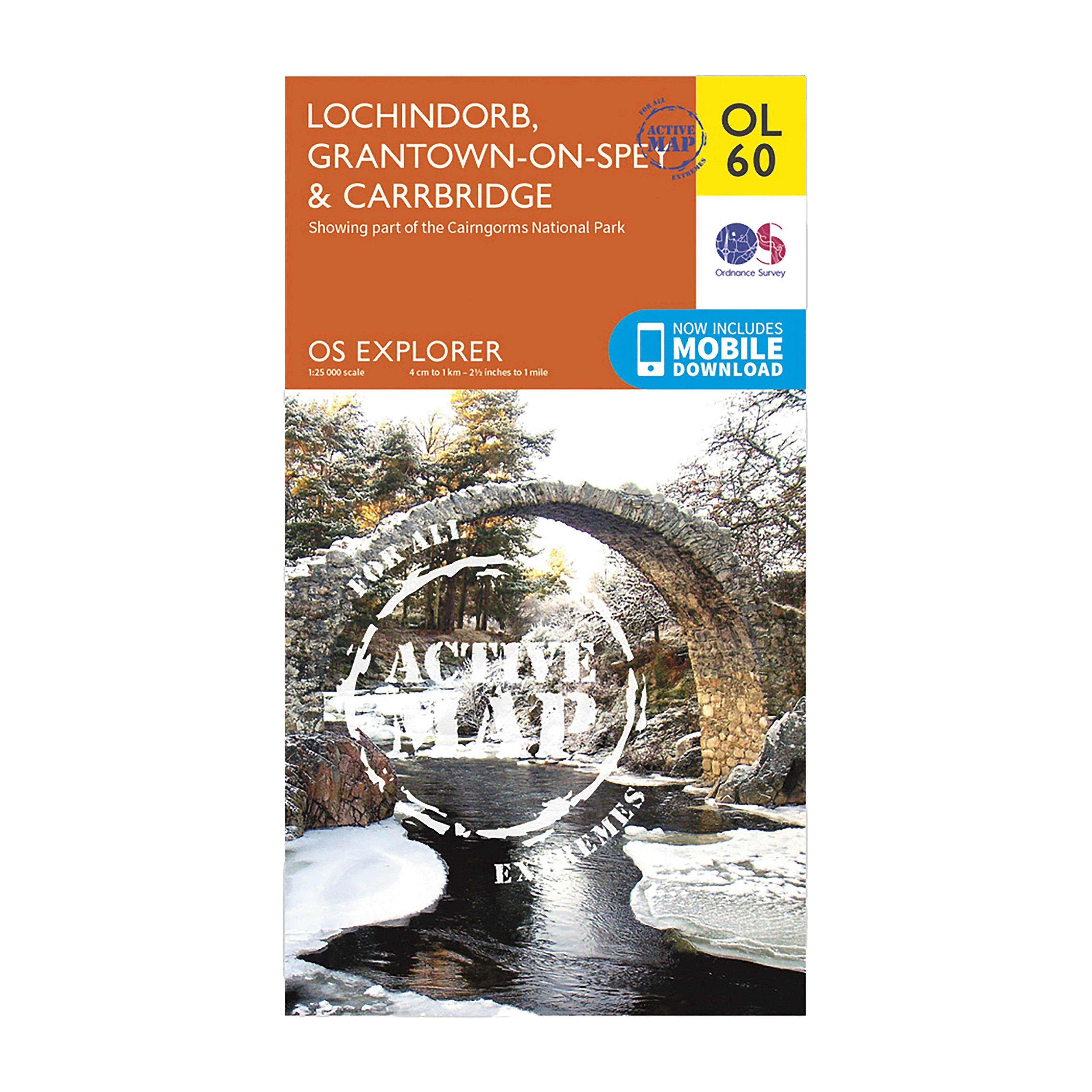
Explorer OL 60 Active D Lochindorb, Grantown-on-Sprey & Carrbridge Map
Features
- Detailed and easy to read map from Ordnance Survey
- Scale: 1:25,000
- Covers the north-western area of the Cairngorms National Park, Strathdearn, Lochindorb, Loch Moy and the River Findhorn
- Includes mobile download of map for use on your smartphone
- Shows tourist information points, popular sites, viewpoints, places of information and rights of way information
- Recommended activity - navigation
$10.20
Explorer OL 60 Active D Lochindorb, Grantown-on-Sprey & Carrbridge Map—
$10.20
Product Information
Product Information
Shipping & Returns
Shipping & Returns
Description
Features
- Detailed and easy to read map from Ordnance Survey
- Scale: 1:25,000
- Covers the north-western area of the Cairngorms National Park, Strathdearn, Lochindorb, Loch Moy and the River Findhorn
- Includes mobile download of map for use on your smartphone
- Shows tourist information points, popular sites, viewpoints, places of information and rights of way information
- Recommended activity - navigation